 Deutsch
 Español
 Français
 Italiano
 Nederlands
 English
Sale!
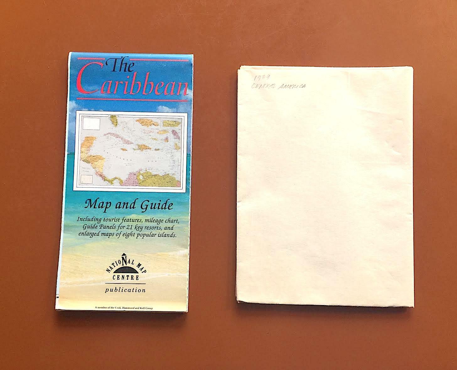
Maps of Central America & Caribbean (1939) and Caribbean (1993)
$6.33
100
- Region of Origin: Caribbean Islands
- Modified Item: No
- Condition: Items are in okay condition, with some signs of age and wear (see images).
- Type: Vintage Map, Less Vintage Map
- Country/Region of Manufacture: Unknown
- Handmade: No
Description
Includes a vintage map of Central America & the Caribbean from way back in 1939, when the Panama Canal was just 25 years old, when Belize was British Honduras and Cuba was firmly in the the grips of Fulgencio Batista (from National Geographic, 1939); and a map & guide to the Caribbean region, featuring a map of the 700+ islands of the region, sweeping from the Greater Antilles (Cuba, Jamaica, Hispaniola and Puerto Rico) in the west, through the Lesser Antilles (from the Virgin Islands to Aruba) in the east, and the Bahamas in the north, on one side, and a guide to all of these beautiful sunny places for shady people on the other side (from the National Map Centre, 1993).
